Accurate rainfall readings are crucial for water resource management, early flood warning and weather prediction, among other things. Traditional rain gauges measure rainfall but are often spaced too far apart to collect high-resolution data.
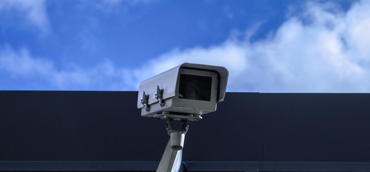
As a smart city, Singapore has sensors that are densely distributed at ground level, including CCTVs and Internet-of-Things (IoT) device cameras. Using these to collect rainfall data could yield valuable and highly spatially distributed insights.
In 2019, the Hydroinformatics Institute (H2i) collaborated with PUB (Singapore’s National Water Agency) on a 1.5-year R&D project to investigate the accuracy of rainfall monitoring through street-level CCTV footage in real-time. This project studied the use of six of PUB’s existing CCTVs and IoT device cameras as rainfall measurement sensors.
The results were promising and H2i will be working with PUB to scale up the project. A total of 150 CCTVs across the island – about one-third of all PUB’s surface CCTVs – will be used in this scale-up exercise, which will run from 12 April 2021 until 11 October 2022. The funding of this scale-up project is supported by Singapore’s National Research Foundation (NRF) under the Living Lab (Water) Scheme and PUB.
“Using our expertise in Machine Learning and a Deep Learning model based on VGG (a convolutional neural network designed for image processing), the CCTVs were able to detect rainfall that was not captured by a nearby rain gauge. Despite the low resolution of the collected data, it was still possible to distinguish several categories of rainfall (no rain, light rain, medium rain, heavy rain and extreme rain),” said Project Manager Meinte Vierstra.
“Given that, we know that these optical sensors can be effectively used to gauge rainfall rates in real-time”, he added.
Rainfall is a complex phenomenon to describe and forecast. Rainfall in the tropics is even more complex as it varies highly over space and time. This makes it challenging to accurately quantify the amount of rainfall on the ground at any given location.
Rainfall radars such as S-, C- and X-band radars, can be used to provide spatially distributed rainfall data anywhere on a map. Rain gauges on the other hand can measure rainfall data at ground level, but only at one location, and they are typically sparsely distributed. Used in combination with CCTVs, however, PUB will be able to obtain highly accurate spatial and temporal rainfall data.
This project will also investigate how to scale-up the infrastructure used in the initial project, including cloud computation and cloud storage infrastructure, as well as a framework that uses Machine Learning for continuous and semi-automated improvement of the system’s performance.


0 Comments